by EAGLE Students | Oct 29, 2019 | 2017 EAGLEs, Marius Philipp, Notes
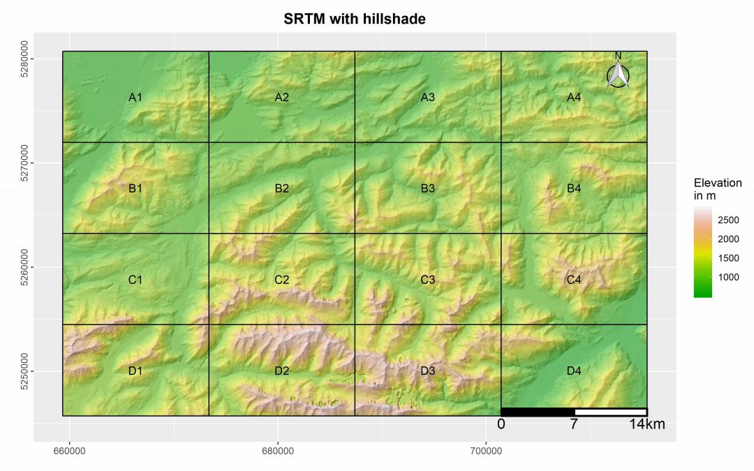
This R package was designed by EAGLE student Marius Philipp for the automatized generation of map booklet pdfs for user defined ggplots. The package contains currently two functions, one of which creates a fishnet polygon from the extent of the user input data. The...
by EAGLE Students | Jul 13, 2019 | 2017 EAGLEs, Marius Philipp, Notes
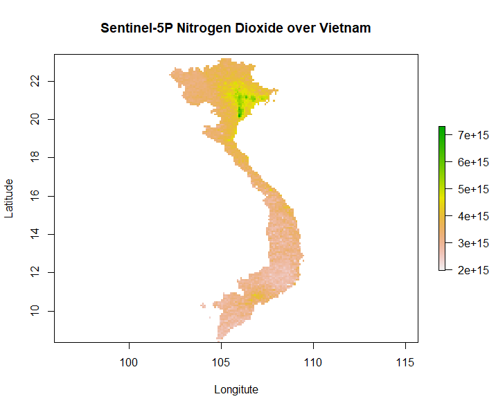
Our second generation EAGLE student Marius Philipp developed the R package S5Processor to automatically convert Sentinel-5P L2 NetCDF files into TIFF files. The user can define the product which should be turned into a TIFF and also mosaic from a list of file-paths....
by EAGLE Students | Jun 7, 2019 | 2016 EAGLEs, 2017 EAGLEs, 2018 EAGLEs, Jakob Rieser, News
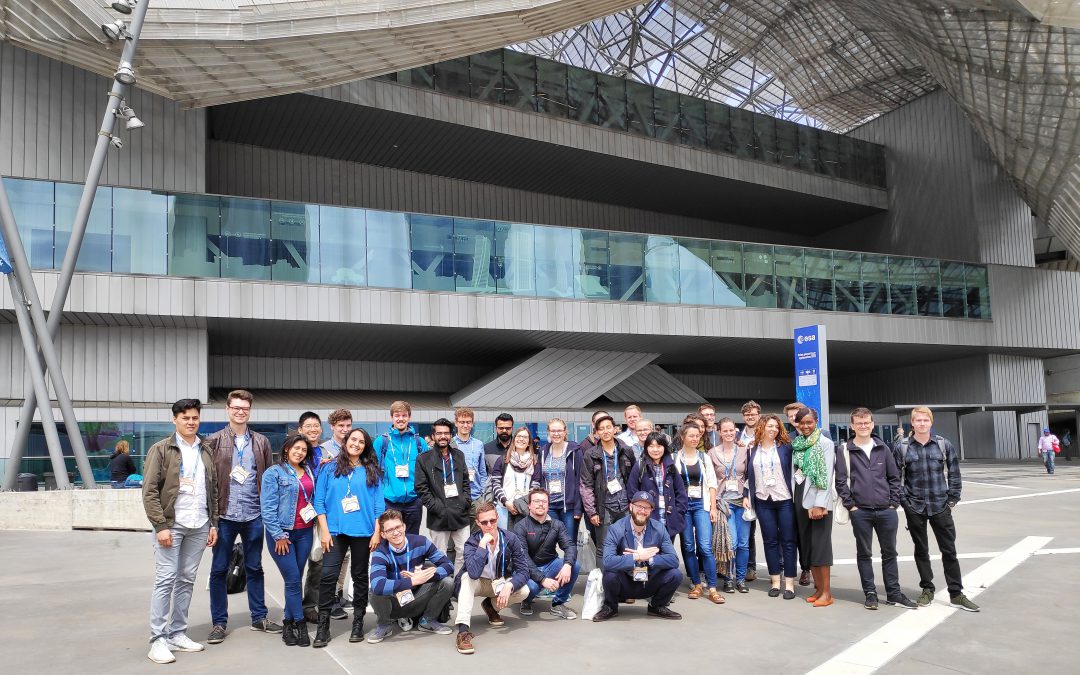
From May 13 to 17 the city of Milan hosted the world’s largest Earth Observation conference, the ESA Living Planet Symposium. Over 4000 participants (remote sensing experts, national and international companies, students, organizations and agencies from all over the...

by EAGLE Students | May 10, 2019 | 2017 EAGLEs, Aida Taghavi Bayat, Notes
In a few days, me and some other EAGLE program students are going to attend the “Living Planet Symposium 2019” by ESA which is amongst the biggest Earth observation conferences in the world. Part of my internship work at Remote Sensing Solutions GmbH is going to be...
by EAGLE Students | Mar 28, 2019 | 2017 EAGLEs, 2018 EAGLEs, News, Salim Soltani, Sebastian Buchelt
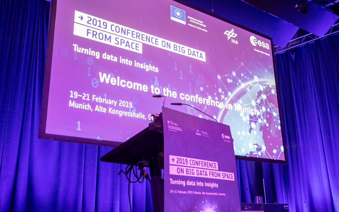
Last month, from 19-21 February 2019, a group of EAGLE students participated at the “Big Data from Space” conference in Munich. The conference co-organized by ESA & DLR focused on three main topics: 1) Latest advances in machine and deep learning 2) Latest...
by EAGLE Students | Mar 22, 2019 | 2017 EAGLEs, Internships & Innovation Lab, Notes, Salim Soltani
The internship at DLR gave me the opportunity to contribute to a case study investigating the effect of spatial resolution on the snow classification accuracy using different sensor images using Spot-5, Sentinel, Landsat, and MODIS for the time frame of 1984 to 2018....


