Marius Philipp
2017 EAGLE Student
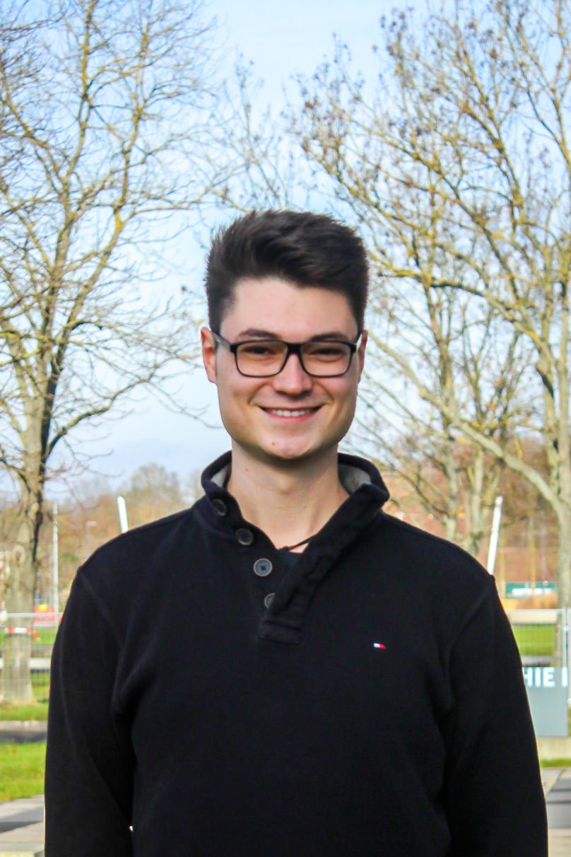
Marius Philipp (23) comes from a small town near Augsburg. As a hobby he is passionate about photography and photo editing, as well undertaking any activities with friends. He received his Bachelor’s degree in Physical Geographie at the University of Würzburg. During his Bachelor’s studies he came in touch with the Department of Remote Sensing and found his special interests in earth observation and geoanalysis.
He joined the EAGLE program in order to gain deeper knowledge about remote sensing and its applications. He especially appreciates the diverse coursework as well as the collaboration with national and international partners, which provides students with exceptional opportunities for their future career. He’s part oft he EAGLE students‘ board and takes care about the organization of the study program.
Latest articles
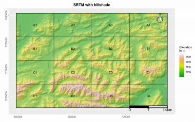
R package “MapBooklet” for an automatized creation of map booklets based on user ggplots
This R package was designed by EAGLE student Marius Philipp for the automatized generation of map booklet pdfs for user defined ggplots. The package contains currently two functions, one of which creates a fishnet polygon from the extent of the user input data. The second function uses these fishnet polygon in combination with a user ggplot for the creation of a map booklet, including an overview map, as well as a submap for each tile.
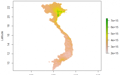
R Processing Toolbox for Sentinel-5P data
Our second generation EAGLE student Marius Philipp developed the R package S5Processor to automatically convert Sentinel-5P L2 NetCDF files into TIFF files. The user can define the product which should be turned into a TIFF and also mosaic from a list of file-paths....
R Package “superClassAnalysis”
For our final project in the course “MB2 – Introduction to Programming and Geostatistics” held by Dr. Martin Wegmann the students were encouraged to explore the possibilities for analyzing and working with remote sensing data in R. In this context I created a package...
Field Measurements in Demmin 2018
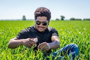
In order to get some practical experience in terms of field work the EAGLE program offers an excursion to Demmin which is located in federal state of Mecklenburg-Western Pomerania in North-East Germany. The test site is an intensively used agricultural ecosystem that...
Block course “Hyperspectral Remote Sensing”
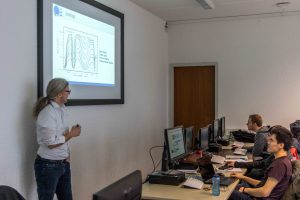
One reason that makes this master’s program so attractive is its highly diverse coursework. This is being reflected by the currently available block courses. The “Hyperspectral Remote Sensing” course held by Dr.rer.nat. Martin Bachmann is part of that. In this course...
Photoshooting for the EAGLE Website
Another Year, another generation of students. After our studies began there was also the need for updating the EAGLE students’ webpage in order to reveal the new generation of EAGLEs to the world. The first step was of course the creation of a group photo, as well as...

