by EAGLE Students | Jan 29, 2019 | 2017 EAGLEs, Internships & Innovation Lab, Notes, Python, Sebastian Buchelt
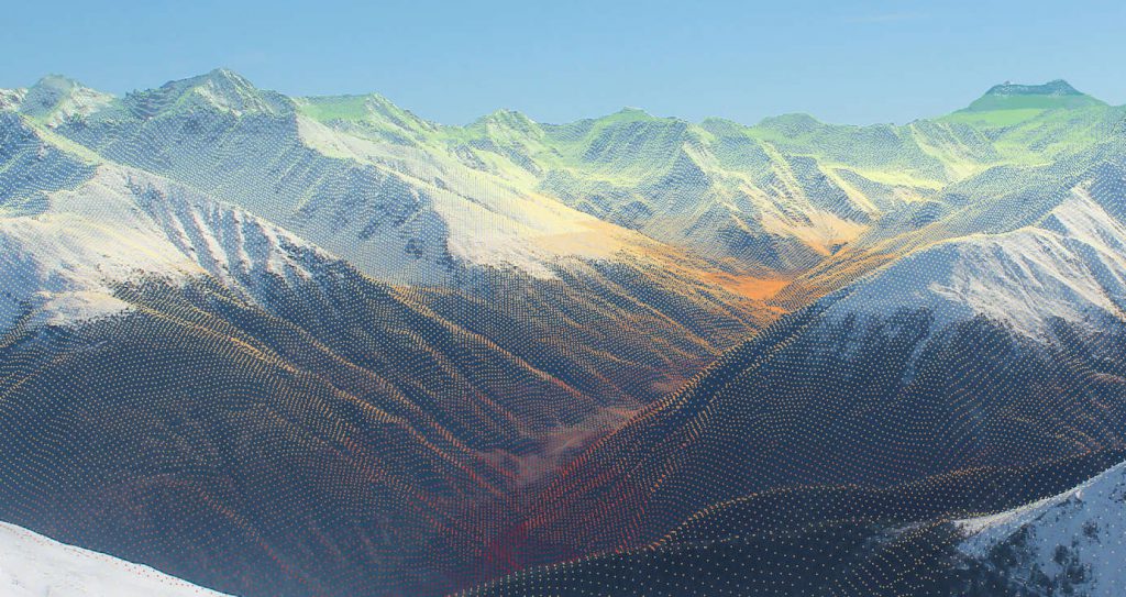
Over the last years, webcams and real-time monitoring has become more and more popular. Especially in mountainous regions webcams are widespread (e.g. ski fields, lakes, traffic, …). As these images provide information in high spatial and high temporal resolution, the...
by EAGLE Students | Dec 9, 2018 | Maninder Dhillon, Notes
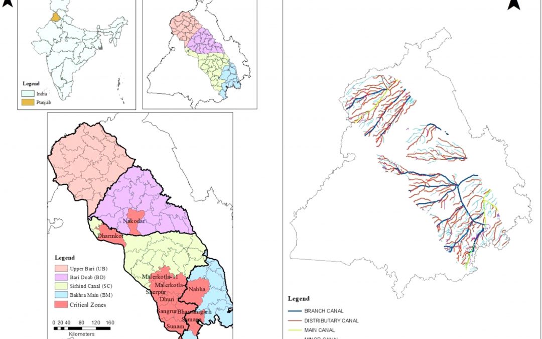
Figure: Map of the study area and canal network of central Punjab with critical regions After estimating the total carbon emissions from groundwater pumping (see the previous blog), I wanted to delineate the critical regions of the study region with high carbon...
by EAGLE Students | Nov 24, 2018 | Maninder Dhillon, Notes
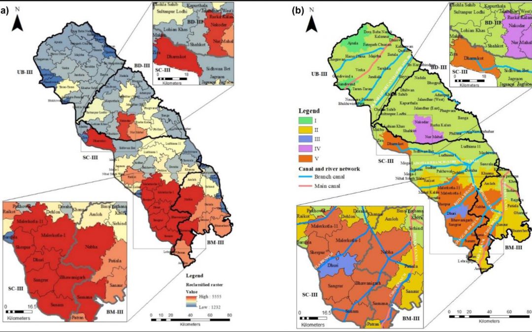
Recently, I published a case report, which was based on a methodology to estimate carbon emissions from groundwater pumping in Punjab, India. The report was correlated with the fact of the green revolution momentum in the late 1960s and 1970s that resulted very...
by EAGLE Students | Oct 30, 2018 | 2016 EAGLEs, Karsten Wiertz, Louis von Freytag-Loringhoven, Notes
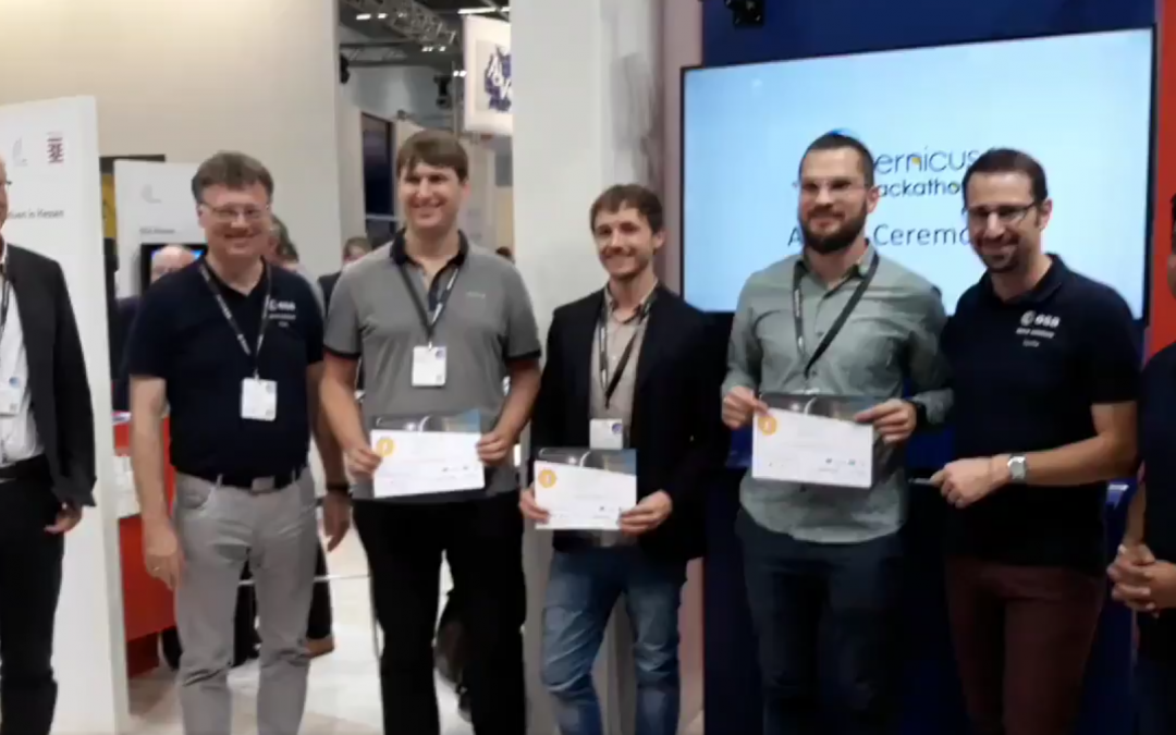
Written by Karsten Wiertz This year, two of our EAGLE students had the opportunity to participate at the Copernicus Hackathon 2018 in Darmstadt. In the Hackathon, participants formed small groups, chose a task and had 24 hours to work on it with the technical support...
by EAGLE Students | Jun 11, 2018 | Notes, Pawel Kluter
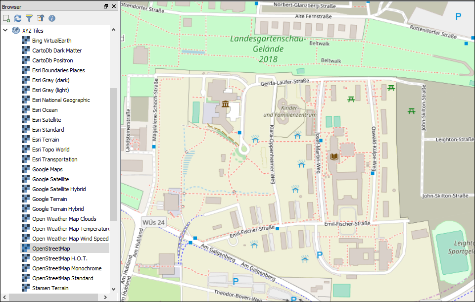
The OpenLayer Plugin for QGIS provided all my basemap layers for quite some time now. But since the eagerly awaited launch of QGIS 3.0 earlier this year this plugin became incompatible, leaving you with two options: you either gather and compile all XYZ Tiles...
by EAGLE Students | May 22, 2018 | Marius Philipp, Notes
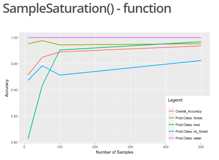
For our final project in the course “MB2 – Introduction to Programming and Geostatistics” held by Dr. Martin Wegmann the students were encouraged to explore the possibilities for analyzing and working with remote sensing data in R. In this context I created a package...


